As we see article after article reporting the effects of climate change, it is increasingly important that we act and implement solutions now. Protected areas are one solution, as they provide habitat for endangered species and keep carbon in the ecosystem.
Measuring Carbon on the Ground
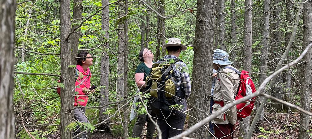
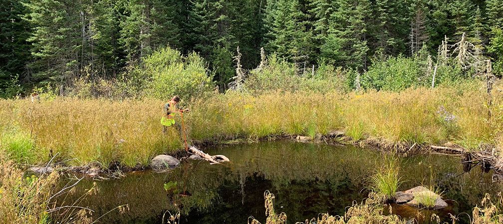
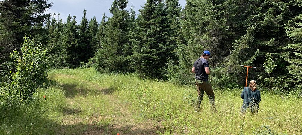
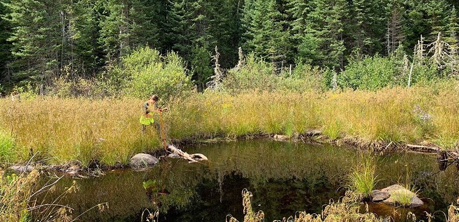
Last year, Ontario Nature staff and community science volunteers collected carbon data at some of our nature reserves (Kinghurst Forest, Malcolm Bluff Shores and Sauble Dunes) and a variety of other candidate protected areas to evaluate the amount of carbon they currently store. These candidate protected areas are called ‘designated conservation lands’ (DCLs), which are areas in northern Ontario that are identified by Forest Stewardship Council-certificate holders with the goal of becoming permanently protected.

This work was a component of our carbon assessments, which we completed to compare carbon storage estimates calculated by models to the amount of carbon in trees and soils at those specific locations. During our fieldwork, we took tree measurements (like height and diameter) and soil samples to calculate the total amount of carbon in aboveground biomass (the leaves, trunk and branches of a tree) and soil biomass.
So How Much Carbon is There?
We recently published the results of this assessment, and found that the amount of carbon stored in trees was higher than predicted! Deciduous forests in northern Ontario were especially high. We also found that the amount of carbon stored in soils differed quite a bit, even within the same land cover type across Ontario.
Coniferous forest soils in northern Ontario stored almost 2.5 times more carbon than in southern Ontario, based on our samples. Another major finding was the amount of carbon stored in wetland soils – which ranked the highest among our samples! In DCLs in northern Ontario, they were found to store over 550 tonnes per hectare.

This was an exploratory study, and it’s possible that our estimates were different from the values calculated from models because we were not able to collect many samples in each land cover type.
We also did not sample soils to the same depth as the models, especially in northern Ontario where the bedrock is close to the surface. However, these results tell us that there’s a big variation in carbon storage across regions and even land cover types. Future carbon storage studies should aim to include field samples as a part of their analysis.

Ultimately, we found more stored carbon in northern Ontario than in southern Ontario. This could be because of the forest structure in our nature reserves compared to the DCLs in northern Ontario (the trees in northern Ontario are denser with more trees per hectare).
Carbon-rich peatlands and wetlands are also more common in northern Ontario. Although we only went to two disturbed areas in that region, these places stored much less carbon than the surrounding forests and wetlands – which highlights the importance of protecting natural areas from human disturbance.
Learn More
To learn more about our work with FSC, watch our video “Protecting 1 million hectares in FSC-certified forests” and visit our Story Map to learn about FSC designated conservation lands and other candidate areas. Help us permanently protect designated conservation lands in northern Ontario at www.ontarionature.org/protected-places-give!
Funding acknowledgement
Carbon sampling across Ontario was made possible by the Metcalf Foundation, RBC Foundation, Bruce Power, TD Friends of the Environment Foundation and an anonymous donor.
Thank you to everyone who joined us at our Nature Reserves from the Bruce Trail Conservancy, Owen Sound Field Naturalists, Saugeen Nature, Escarpment Biosphere Conservancy, Ontario Land Trust Alliance, Parks Canada, University of Waterloo, and Nature Conservancy of Canada.
