June is National Indigenous History Month, which offers a reminder to learn about the diverse cultures and experiences of First Nations, Inuit and Métis Peoples. Ontario Nature honours and celebrates the stories, achievements and unique cultures of Indigenous Peoples in what we now call Ontario. We are not experts, and the intention of this blog is to share Indigenous voices and resources that we have found to be helpful to learn about the land on which we live, work and play.
History of Maps in Conservation
The environmental and conservation movement has an impressive list of accomplishments in Ontario. It also has a legacy of colonial practices – such as the forced displacement of Indigenous Peoples for European settlement, to create parks and to facilitate resource extraction, resulting in the loss of traditional food sources. Marginalized communities continue to experience elevated levels of pollution.
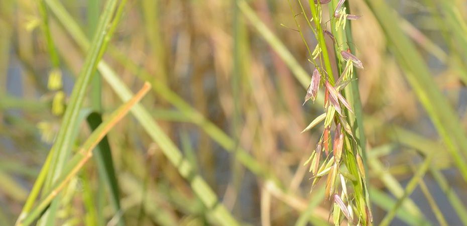
Wild rice is an important traditional food source for many Indigenous peoples © Noah Cole
Maps are an important part of conservation. They are an excellent tool for tasks like observing natural and human caused changes across the landscape and tracking movement patterns of wildlife. However, maps have also been a tool of colonization. Settler maps portrayed the land as terra nullius (“nobody’s land”) for colonizers to take. Most maps continue to use European place names. Emily Jacobi, Executive Director of Digital Democracy – a non-profit creating technology to defend environmental and human rights – suggests that “the maps that we build upon and navigate today do not reflect the land as it once was, or even as it is, but by how it is perceived through colonizers’ eyes.”
Map of “Upper Canada” from 1818 © William Faden, courtesy of Toronto Public Library
Indigenous Peoples have used maps for navigating and sharing knowledge since time immemorial. Map knowledge was passed from generation to generation, sketched from memory on the ground, bark or animal skins. Historically, often maps were used to assist with navigation, focusing on major landmarks and bodies of water. Today, maps are still used for things like sharing ecological knowledge, creating art and in settling land claims.
Indigenous Mapping Initiatives and Perspectives
Virtually everyone uses maps almost daily, whether it is using a GPS, looking at a bus route or tracking a delivery. Here are a few examples of some resources and perspectives to consider reading to challenge how you look at a map and orient yourself in the world and honour Indigenous perspectives, languages, and stories:
Learn about the area you live, work and play in. Is there a traditional Indigenous place name for your city? There are almost 30,000 official place names in Canada with Indigenous origin! Natural Resources Canada has created a map of a selection of some geographical features with names originating from Indigenous languages. There are also resources to identify treaties, agreements & leadership stories near you, as well as Indigenous territories & languages.
Not all Indigenous People use North as the direction facing up. Traditionally, Anishnaabeg people orient themselves to the east. Lillian Pitawanakwat, an Ojibwe elder from the Thunderbird Clan and Whitefish River First Nation, reminds us that “the east is where we come from. It represents the springtime, and the spring of life.”
Do you recognize this area? Map of Nayaano-nibiimaang Gichigamiin (Great Lakes) with place names in Anishinaabemowin. Recreated from map created by Charles Lippert and Jordan Engel published on Decolonial Atlas © Ontario Nature
Learn from Indigenous-led mapping projects. Ohneganos, an Indigenous water and ecological knowledge research program, has created a digital Indigenous map of the Six Nations of the Grand River Territory. It hosts Indigenous ecological knowledge and recordings of place-based oral histories.
Interactive map of important cultural areas in and near the Six Nations of the Grand River territory, including images, place names, and audio and video recordings © Terrastories
We invite you to reflect on the ways you use maps and navigate the world around you. We encourage you to question your preconceived notions about maps, learn about the history of where you are, and understand about how you can participate in reconciliation.
Resources
The post Decolonizing Mapmaking: Rethinking Your Relationship with the Land appeared first on Ontario Nature.